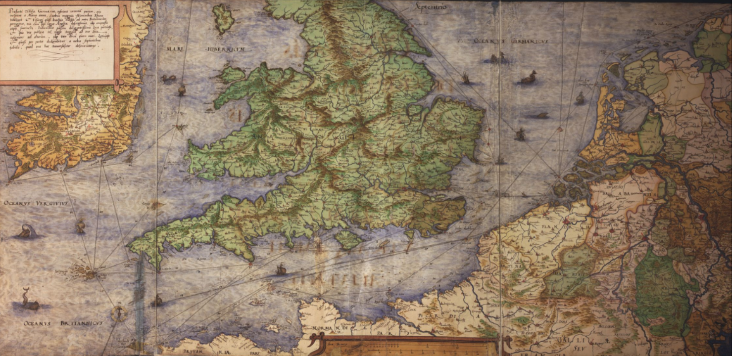
In the farm barn, we present the traveling exhibition in our border region with Germany about the work of the important cartographer Christian Sgrooten, born in Sonsbeck. He lived just across the border in Kalkar for more than 55 years. Around 1555, he began mapping the area around the Lower Rhine and the Veluwe. His work made a great impression on King Philip II of Spain, who appointed him court cartographer. After his death, Sgrooten’s work fell into oblivion, partly due to the rise of printed atlases.
More than fifty years ago, his work was rediscovered in archives in Brussels and Madrid. He was an engaged citizen with an urban and regional network that also included Gerhard Mercator and other mapmakers, printers, and publishers. His maps—whether regional maps or vast (world) maps—are characterized by graphic refinement and masterful coloring.
The exhibition presents a selection of his regional, European, and world maps from the Brussels Atlas (1572/73) and the Madrid Atlas (1592) ‘Jewels of 16th-century cartographic art’.